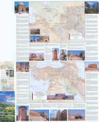
1. Afghanistan & Turkmenistan : Kabul, Kandahar, Ashgabat / edited by Yasuke Ujimiya, Mark Ramsay, Tran Dinh Coung, Dung Nguyen. Edgar Mantashayan, Phuong Vu ; Lan Joyce, editor in chief.
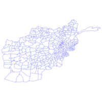
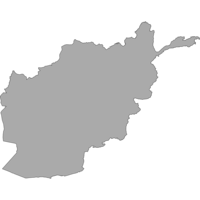
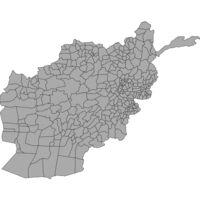
Afghanistan & Turkmenistan : Kabul, Kandahar, Ashgabat / edited by Yasuke Ujimiya, Mark Ramsay, Tran Dinh Coung, Dung Nguyen. Edgar Mantashayan, Phuong Vu ; Lan Joyce, editor in chief. Richmond, BC : ITMB Publishing, 2020. princeton-dcf7623q94x. 2020. ITMB Publishing Ltd. Relief shown as gradient tints and spot heights. Shows:international and provincial boundaries, roads, railways, Slk Road (primary and secondary), ...